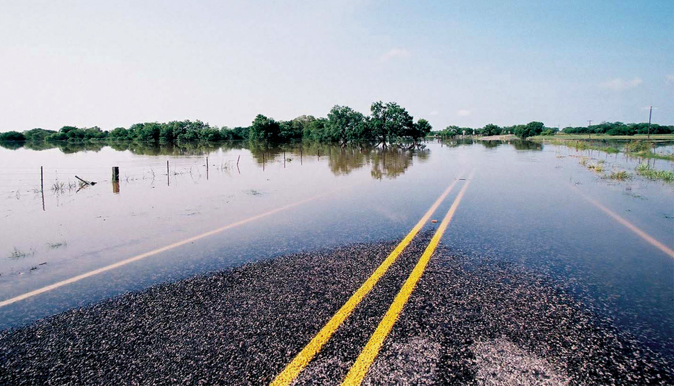
Flood
Prepare for one of the world’s most expensive hazards with our landmark Worldwide Flood Map.
Climate change, globalization and urbanization are driving factors behind flood events and their consequences. As a company dedicated to helping commercial and industrial property clients manage their risk and ensure operating resilience, FM Global has conducted extensive research—building on the data and experience of noted governmental and research organizations—to develop a Worldwide Flood Map that identifies areas exposed to moderate- or high-hazard flooding.
In addition to historical flood data, the Worldwide Flood Map is derived from physically based hydrology and hydraulic scientific data, which accounts for variable external factors such as rainfall, evaporation, snowmelt and terrain. The Worldwide Flood Map is particularly valuable in parts of the world where local or regional flood maps are inconsistent or unavailable. The Worldwide Flood Map currently displays high (100-year) and moderate (500-year) hazard flood zones via a 90 x 90-meter grid.
Our Worldwide Flood Map lets you see the flood exposure for any location in the world.
Flood Resources
-

Flood Checklist
Download ChecklistGet an emergency checklist of actions to take when flood is imminent. Know what to do after flooding has occurred.
-
Flood Emergency Response Plan
Download the FERPSafeguard your facilities with a detailed Flood Emergency Response Plan (FERP). The plan will be your guide to preventing or minimizing water damage at your facilities, should flood ever present a threat.
-
Understanding the Hazard (UTH)
Learn more about one of the costliest natural hazards in the world, including what's inevitable, what's preventable, and the answers to frequently asked questions.
Download the UTH